Below is a Google Map showing the location of Agriturismo VERDITA, Piedmont, Italy. The map is fully zoomable and may be used to explore all of Italy.
GPS:
44.51164, 8.28788
N 44 30.698, E 8 17.273
N 44 30 41.9, E 8 17 16.4
Coming from Alessandria:
exit Alessandria SUD. Immediately after the tollbooth (50 meters), turn right to Acqui Terme.
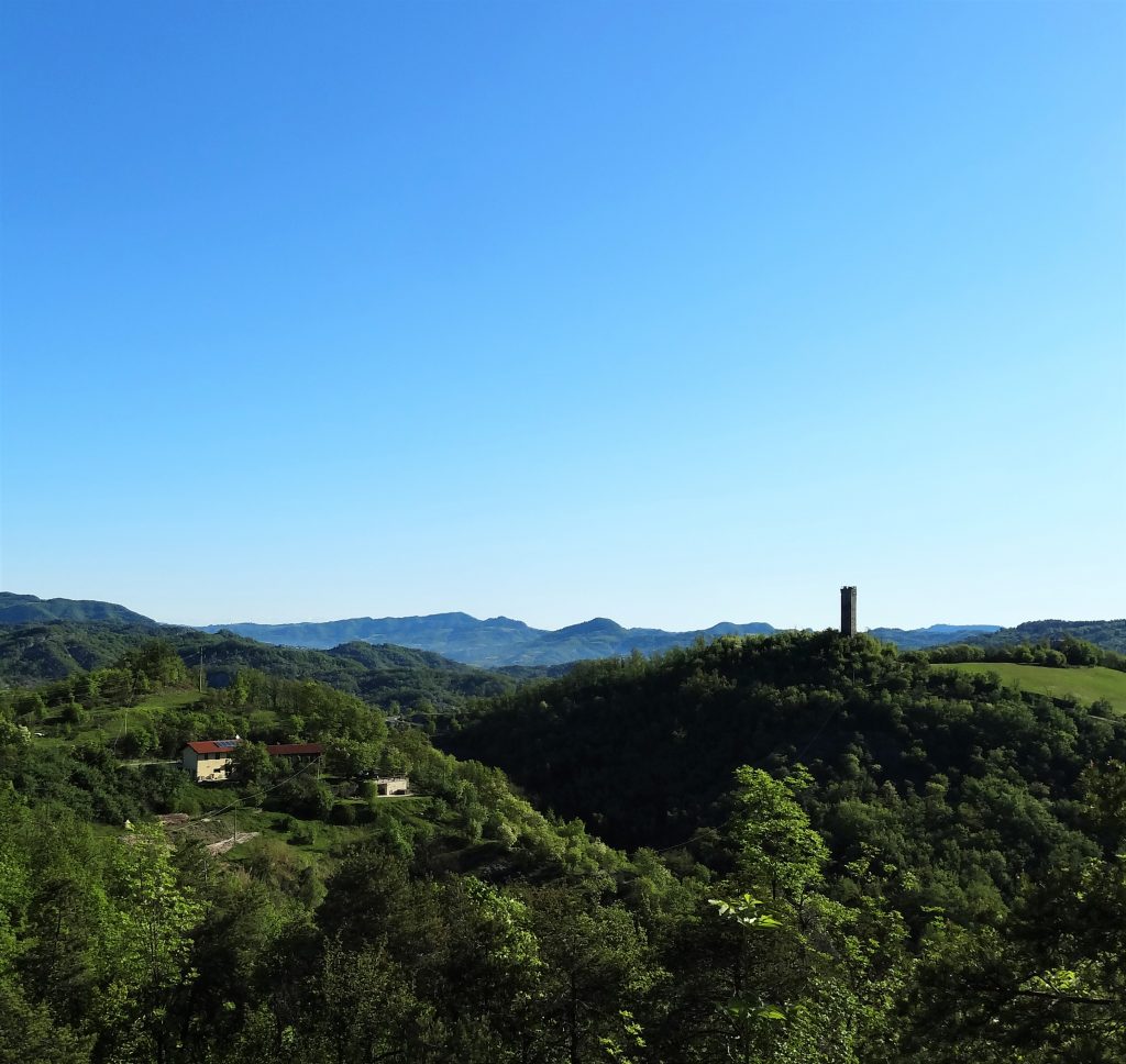
Keep following this “strada provinciale” nr. 30 in direction of Acqui Terme and Savona untill you come into our village, Merana.
At Merana, you follow the signs for “Torre San Fermo”. You keep following the road to the tower untill you’re almost at the tower and you see a little chapel and a cross, don’t turn to the left for the tower, but stay on the road. The next house on the road (300 meters further) is our agriturismo.
Coming from Savona:
motorway direction Torino. Take first exit (Altare / Carcare) and “strada provinciale” nr. 29 in direction Cairo Montenotte / Acqui Terme.
At Merana, the first village of Piemonte, you follow the signs for “Torre San Fermo”. You keep following the road to the tower untill you’re almost at the tower and you see a little chapel and a cross, don’t turn to the left for the tower, but stay on the road. The next house on the road (300 meters further) is our agriturismo.
Coming from Torino:
motorway direction Savona. Exit Millesimo, then take direction Carcare. On the roundabout take LEFT to Cairo Montenotte / Acqui Terme (“strada provinciale” nr. 29).
At Merana, the first village of Piemonte, you follow the signs for “Torre San Fermo”. You keep following the road to the tower untill you’re almost at the tower and you see a little chapel and a cross, don’t turn to the left for the tower, but stay on the road. The next house on the road (300 meters further) is our agriturismo.